Track width is one of those terms that sounds settled until someone asks where the tape measure starts. Centerline of the contact patch, inner sidewall, outer sidewall, hub face — each gives a different number, and each is correct inside its own convention. The same problem shows up one scale larger when we trace a circuit: Spa-Francorchamps publishes 7.004 km, our OpenStreetMap trace returns 6.995 km, and both are honest. This piece is a flowchart. We will ask three questions, and route the answer based on what you actually need the number for.
Question 1: Are You Measuring a Car or a Circuit?
The phrase "track width" lives in two different rooms. In vehicle engineering it is a chassis dimension: the lateral distance between the two wheels on the same axle. In circuit cartography it is a surface dimension: the width of the asphalt the car is allowed to use. Both are called track width in casual usage. They are not the same measurement and they do not share a reference point. This is the first fork, and most arguments about "the correct answer" collapse the moment someone names which room they are standing in.
If Yes — You Are Measuring a Car
Automotive convention is centerline to centerline. The tape measure runs from the vertical centerline of the left tire's contact patch to the vertical centerline of the right tire's contact patch, taken on a flat surface with the suspension at its reference ride height. This is the figure that appears in homologation sheets, SAE J670 vehicle dynamics terminology, and ISO 8855. It is not the center of the tire as a sphere, because tires are not spheres. It is the center of where the tire actually touches the ground.
Two secondary conventions exist and both get sloppily labelled "track width" in the aftermarket. Hub-face to hub-face is a geometric measurement at the wheel mounting surface, useful for spacer and offset math, and it will be narrower than the contact-patch figure by roughly the tire's section width minus twice the wheel offset. Inside-sidewall to inside-sidewall is a packaging figure useful for fender clearance, and it is narrower still. If a spec sheet gives you a single number labelled "track" with no qualifier, assume contact-patch centerline, because that is what the engineering standards specify.
If No — You Are Measuring a Circuit
Circuit width is the width of the racing surface, and the convention is less clean. The FIA publishes minimum track widths for different grade licences (10 m, 12 m, 15 m depending on era and category), measured from inside painted edge to outside painted edge of the main racing surface — the asphalt the car is permitted to use. Kerbs, run-off asphalt and verge are measured separately. Our map traces follow the OpenStreetMap raceway polyline, which approximates the centerline of the drivable surface; width is not a single number on a circuit, it varies between about 10 m on narrow Nordschleife sections and more than 20 m on Silverstone's modern pit straight.
Question 2: Do You Need the Official Figure or the Traced One?
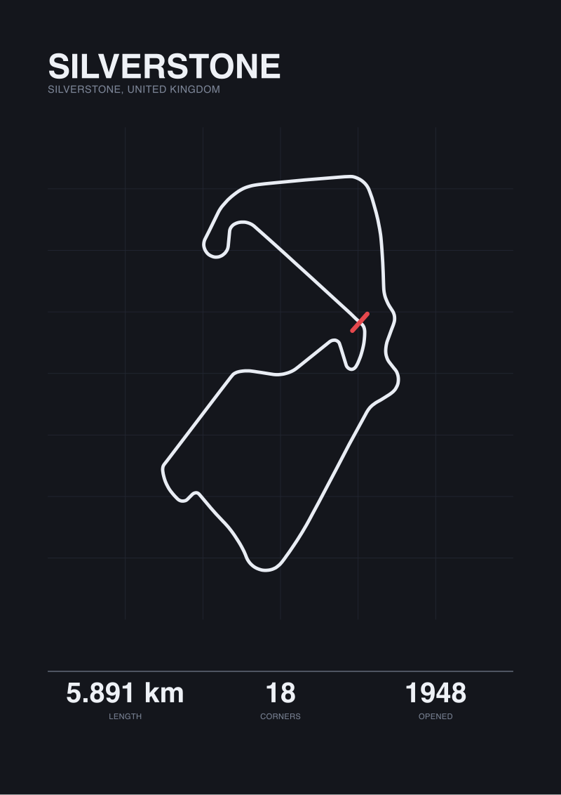
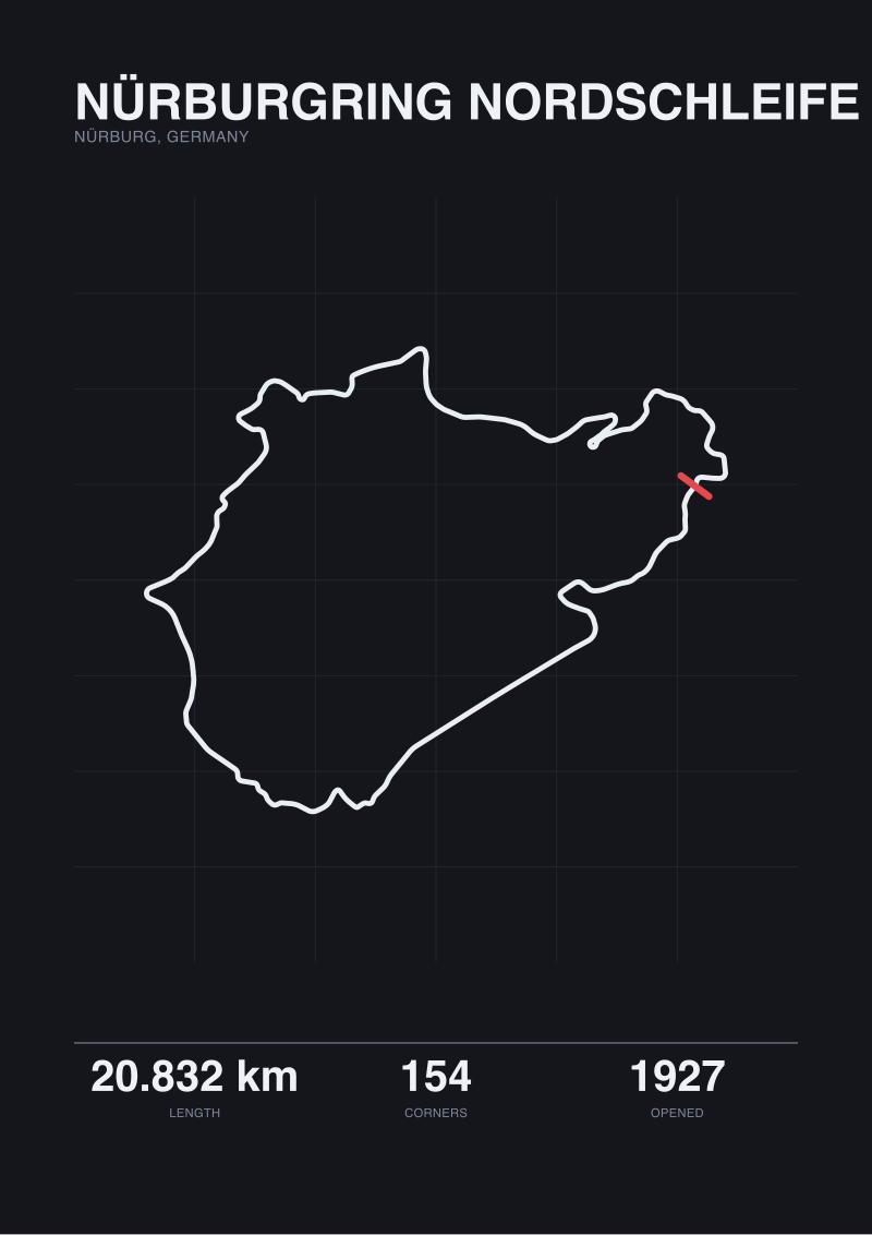
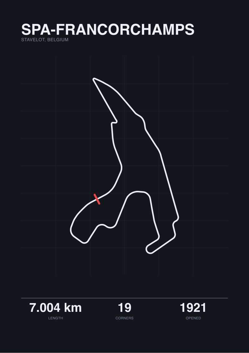
This is the fork that gets writers into trouble, because the honest answer is that no single length exists. Four of the circuits we work with illustrate the gap. Spa-Francorchamps publishes 7.004 km; our OpenStreetMap trace returns 6.995 km, a 9 m difference across a lap of 19 corners. Silverstone publishes 5.891 km; we trace 5.881 km, a 10 m gap across 18 corners. The Nürburgring Nordschleife publishes 20.832 km over 154 turns; we trace 20.746 km, 86 m short. The Circuit de la Sarthe publishes 13.626 km, and here our trace returns 0.793 km — a figure so far off that it is not a measurement at all, it is a signal that the OSM raceway tagging does not cover the public-road sections of the circuit, which are only closed on race weekends.
If Yes — You Need the Official Figure
Use the length published by the circuit operator or the sanctioning body. For Spa it is 7.004 km. For Silverstone it is 5.891 km. For the Nordschleife it is 20.832 km. These are the figures printed on homologation documents, broadcast captions, record books, lap-record ratification papers, and FIA Circuit Information Sheets. They are the only legally meaningful numbers. A circuit's "length" for sporting record purposes is the length the licensing body has signed off on, measured along a defined racing line to a defined accuracy, and nothing a map tool returns will overrule that.
Official figures are also stable in a way traces are not. Spa's 7.004 km has been the published length through multiple surface renewals because the geometry has not changed. Silverstone's 5.891 km dates from the 2010 Arena layout. The Nordschleife's 20.832 km reflects a measurement convention locked in by the operator. If your sentence contains words like "FIA grade", "lap record" or "official length", only the published number can occupy that slot.
If No — You Need the Traced One
Use the map-derived figure, and name it as such. For design analysis, visual proofs, print-ready layouts and anything that lives downstream of real map data, the trace is the right source — because that is what the drawing was made from. Our Spa print is cut from the 6.995 km OSM polyline, not from the 7.004 km homologation document, and saying so is more honest than quoting the official number next to a drawing that doesn't match it.
The 10-metre discrepancies on Spa and Silverstone are not errors; they are the difference between a sanctioning-body measurement (walked or wheeled along a defined racing line to tight tolerances) and a public GIS polyline (a vector approximation of the asphalt centerline). The 86-metre gap on the Nordschleife is the same mechanism scaled up by distance. The Sarthe anomaly is a different animal, which we come to in Question 3.
 Silverstone
The print from this article · from €29.95
View the print →
Question 3: Does the Difference Change the Argument You Are Making?
Measurement discipline is contextual. The question is not "which number is more accurate" — both can be honest inside their convention — but "does the gap between them matter for the sentence I am about to write." A 9 m difference on a 7 km lap is 0.13%. The same 9 m on a 400 m kart circuit would be 2.25%. The same discipline applies to tire reference points: 10 mm between hub-face and contact-patch conventions is nothing on an F1 front axle quoted to the nearest centimetre, and everything on a race engineer's camber calculation.
If Yes — The Gap Changes the Argument
Name the convention explicitly in the sentence. "The Nordschleife is 20.832 km according to the operator's homologation; our map trace returns 20.746 km, 86 m short, because the OSM polyline approximates the centerline of the drivable surface rather than following a specific racing line." That reads as authority. "The Nordschleife is 20.832 km" written next to a drawing cut from a 20.746 km trace reads as sloppy, and a reader who notices the gap will trust you less on everything else.
The Sarthe case is where this really bites. Our trace returns 0.793 km against an official 13.626 km. No competent writer should put those two numbers in the same paragraph without explaining that the trace is incomplete — the public-road portions of the Circuit de la Sarthe (the Mulsanne straight, the run through Indianapolis and Arnage) are not continuously tagged as raceway in OpenStreetMap, because they are public roads for 51 weeks of the year. The 0.793 km figure is a signal to the writer, not a figure for the reader. If your argument depends on the length of the Sarthe, use the 13.626 km official number and say so.
If No — Pick One and Move On
If you are writing a casual aside — "Silverstone is just under 6 km" — the gap is noise. Pick the official number by default, because it is the one the reader can cross-check without owning GIS software, and keep writing. The honesty is in not pretending the trace is the official figure, and vice versa; it is not in dragging the reader through a methodology digression every time a length is mentioned. Our own print catalogue at /shop/ uses the traced geometry for the drawing and the official length for the caption, because those are the two separate claims each number can honestly make.
If You Answered Everything
The three questions produce eight routes. The table below is the recap.
| Q1 (Car or Circuit?) | Q2 (Official or Traced?) | Q3 (Gap Matters?) | Recommendation |
|---|---|---|---|
| Car | Official | Yes | Use contact-patch centerline, cite SAE J670 or ISO 8855, state the ride-height condition. |
| Car | Official | No | Use the manufacturer's published track figure and move on, no qualifier needed. |
| Car | Traced | Yes | Measure contact-patch centerline directly, note the measurement tool and surface condition. |
| Car | Traced | No | Any consistent reference (hub-face, sidewall, centerline) works if you use the same one throughout. |
| Circuit | Official | Yes | Quote the operator's homologated length (Spa 7.004 km, Silverstone 5.891 km, Nordschleife 20.832 km). |
| Circuit | Official | No | Use the published length as the default; it is the figure the reader can verify. |
| Circuit | Traced | Yes | Quote the OSM trace (Spa 6.995 km, Silverstone 5.881 km, Nordschleife 20.746 km) and name the method. |
| Circuit | Traced | No | Use the trace only where the geometry is the point; otherwise fall back to the official number. |
The pattern across all eight rows is the same: the reference point is not a universal truth, it is a convention that must be named when the gap between conventions is big enough to affect the claim. Spa at 9 m difference, Silverstone at 10 m, Nordschleife at 86 m, Sarthe at a figure that is not a measurement at all — the honest move is always to label which number is being used and why, and to stop reaching for whichever one supports the sentence you already wrote.
This piece did not cover tire deflection and dynamic track width under cornering load, which can shift the contact-patch centerline by several centimetres and matters for suspension engineers; the measurement conventions above are all static. It did not cover how FIA Circuit Information Sheets define the racing line used for official length measurement, because the published methodology varies by era and category. And it did not cover the printing-scale question — the resolution at which a 9 m trace error becomes invisible on a 50 cm print — which is a different discipline, closer to typography than to geometry.
 Nürburgring Nordschleife
The print from this article · from €29.95
View the print →
FAQ
Is the center of the tire the same as the center of the contact patch?
No. The center of the tire as a geometric object sits above the ground along the wheel's rotational axis. The center of the contact patch is where the tire actually touches the road, which can shift laterally under camber, load and steering input. Automotive track-width specifications in SAE J670 and ISO 8855 use the contact-patch centerline, measured with the vehicle at its reference ride height on a flat surface. "Center of the tire" is a loose phrase that usually means contact-patch centerline, but only usually.
Why do Spa and Silverstone's published lengths differ from map-traced lengths?
Published lengths come from the circuit operator's homologation measurement, taken along a defined racing line to tolerances set by the sanctioning body. Map-traced lengths come from OpenStreetMap raceway polylines, which approximate the drivable surface's centerline using public GIS data. The two methods are different, so the numbers differ: Spa reports 7.004 km against our 6.995 km trace, Silverstone 5.891 km against 5.881 km. Each is correct inside its own convention; the honest move is to name which one you are using.
What is the official length of the Nürburgring Nordschleife?
The operator-published length is 20.832 km over 154 turns, measured along the homologated racing line and used by the circuit for sanctioning and record purposes. Our OpenStreetMap trace of the Nordschleife returns 20.746 km, 86 metres shorter, because the polyline approximates the asphalt centerline rather than following the sanctioned measurement line. For any argument that depends on record books, sporting regulations or broadcast captions, 20.832 km is the number to use.
Why does the Circuit de la Sarthe map trace look so wrong?
Because it is not a complete trace. Our OpenStreetMap raceway polyline for Sarthe returns 0.793 km against a published 13.626 km, which is not a measurement error — it is a tagging gap. Most of the Sarthe lap runs on public roads (the Mulsanne straight, the sections through Indianapolis and Arnage) that are closed only on race weekends. Those road segments are not continuously tagged as raceway in OSM, so the trace captures only the permanent circuit portion. For Sarthe, use the 13.626 km official figure.
How wide is a modern Formula 1 circuit at its narrowest and widest?
The FIA Grade 1 licence sets minimum track widths for the main racing surface, generally 12 m at modern homologation, with pit-straight widths often exceeding 20 m to accommodate the start grid. Older permanent circuits like the Nordschleife (1927) and Spa (1921) have narrow sections that predate current minima and are measured non-uniformly along the lap. "Track width" on a circuit is not a single scalar; it is a profile that varies corner by corner and is published by the operator in the circuit's technical dossier.
Does track width affect lap time more than circuit length does?
Lap time is dominated by corner speeds and straight-line durations, not by width in isolation; width affects racing by changing available racing lines, overtaking opportunities and run-off margin. A 1 m change in width at a given corner can shift the geometry of the viable racing line by several car widths, which matters more than its contribution to total surface area. Length is a scalar for a lap; width is a per-corner characteristic that interacts with every other geometry decision.
For a circuit print, should the drawing match the official length or the map length?
The drawing should match whichever source it was traced from, and the caption should say so. Our prints at /shop/ are cut from the OpenStreetMap trace, so a Spa drawing is geometrically a 6.995 km polyline; the caption carries the 7.004 km official length because that is the figure the reader will recognise. Pretending the drawing was homologated or that the official length matches the pixels on paper is the dishonest move; stating both separately is the accurate one.
From the collection
New circuits and 10% off your first print.
One email now with your code. No noise after.