The official length of a race circuit is a legal figure, not a physical one. It is a number written on a homologation document, signed by the FIA or a national sporting authority, measured along a defined centreline under a defined convention, and it survives untouched until the circuit is rebuilt. There is a pattern we keep encountering when we trace a circuit from OpenStreetMap raceway geometry and compare our result to that document: the numbers almost never match, and the size and shape of the disagreement tells you more about how circuits are measured than any single figure ever could. Spa comes back nine metres short. Silverstone, ten. The Nordschleife, eighty-six. Circuit de la Sarthe comes back short by twelve and a half kilometres, which is not a rounding error — it is a category error, and we will get to it.
The Homologation Number Is a Convention, Not a Physical Fact
The first pattern to internalise is that the published length of a circuit is the answer to a legal question, not a physical one. FIA and national ASN homologation procedures measure a defined path along the racing surface — typically the geometric centreline — from the timing loop at the start line back to itself, under specific rules about how chicane apexes, kerb overlaps, and pit-lane entries and exits are treated. Two surveyors following the procedure correctly will land within a metre of each other. Two surveyors ignoring the procedure will not.
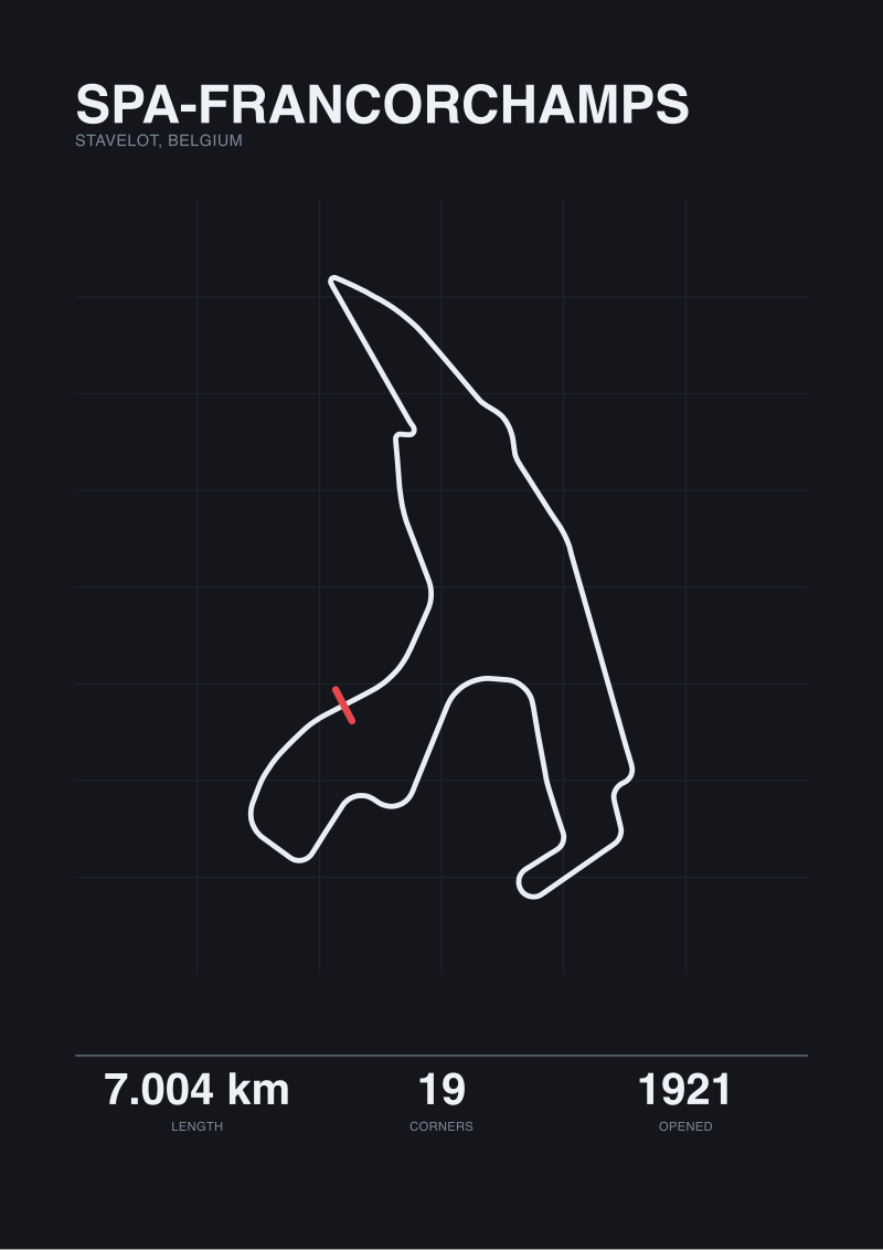
This is why the published Silverstone figure of 5.891 kilometres and our own map-traced figure of 5.881 kilometres are ten metres apart. It is why Spa-Francorchamps, published at 7.004 kilometres, traces to 6.995 kilometres — a nine-metre gap on a seven-kilometre loop, or 0.13 per cent. These deltas are not evidence that the homologation number is wrong or that the trace is wrong. They are evidence that the OSM raceway centreline is a reasonable proxy for the homologation line without being identical to it. Contributors draw the polyline down the middle of the tarmac in geographic coordinates; the homologation team measures along a defined racing centreline in a projected metric survey. Both are honest. Neither is the same.
The consequence for anyone reading circuit statistics: when you see a length figure, you are reading the output of a procedure. The number without the procedure is close to meaningless, and any two numbers produced by different procedures are not directly comparable.
Every Trace Disagrees With Every Other Trace
The second pattern is quieter and more disorienting once you see it. No two measurements of the same circuit give the same length. The homologation document disagrees with the OSM trace. The OSM trace disagrees with GPS telemetry from a lapping car. The telemetry disagrees with a satellite-derived vector. The satellite vector disagrees with a LiDAR survey. All five disagree with each other, and all five can be simultaneously correct within their own conventions.
The reasons stack. Sampling density: a polyline with a vertex every fifty metres traces shorter than one with a vertex every five metres because the coarser line cuts corners the finer line respects. Projection choice: measuring along a line in latitude-longitude coordinates and measuring the same line after reprojection to a metric coordinate system produce different totals, and neither the OSM database nor common trace tools are perfectly consistent about which projection is applied at which step. Line selection: a centreline measurement is shorter than an outside-tarmac trace and longer than an inside-apex trace, and the racing line — the actual path a car takes — is shorter still.
On short, geometrically clean circuits the disagreement stays small. Silverstone's ten metres and Spa's nine metres both fall well inside a fifth of a percent. The homologation figure and the map trace are, in engineering terms, the same length under different rulers. But calling the two numbers identical is a category error, and the moment you compare across circuits it becomes a factual one.
A nine-metre disagreement over seven kilometres is not an error; it is what honest measurement looks like when the tape does not know which line the driver chose.
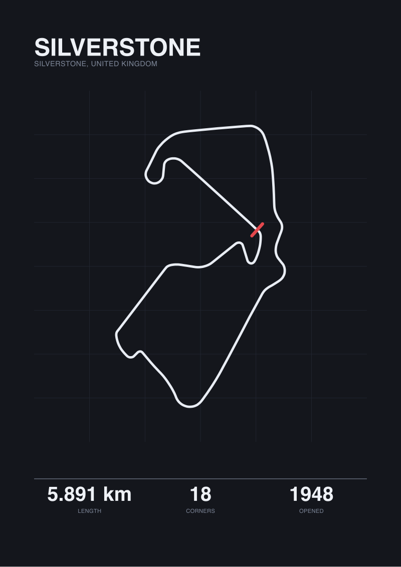 Silverstone
The print from this article · from €29.95
View the print →
Silverstone
The print from this article · from €29.95
View the print →
The Circuit That Is Not There: What Public-Road Layouts Do to the Number
The third pattern arrives the first time you trace a public-road circuit and stare at the result. Circuit de la Sarthe, home of the twenty-four-hour race, is published at 13.626 kilometres. Our OpenStreetMap raceway trace returns 0.793 kilometres. Under one kilometre for a circuit that takes the fastest prototypes over three minutes and twenty seconds to complete.
This is not a measurement failure of Sarthe. It is a categorical failure of the assumption that "raceway" and "circuit" mean the same thing. OSM tags permanent motor-racing infrastructure with `highway=raceway`. The Bugatti circuit — the permanent short loop inside Le Mans — is tagged raceway because it is a raceway. The rest of the twenty-four-hour lap, including the Mulsanne straight, the Porsche Curves, and Indianapolis, is tagged as ordinary public road, because for fifty-one weeks of the year it is exactly that: departmental roads carrying commuter traffic. The traced 0.793 kilometres is the raceway-tagged portion. Everything else is invisible to a naive raceway query.
For any circuit that borrows public infrastructure — Sarthe, Monaco, Baku, Long Beach, Singapore, the Isle of Man Mountain Course — the traced number produced by a raceway-only geometry query is not a length, it is a fragment. Producing an honest map-based length for these layouts requires manually stitching the closed-road segments back onto the permanent-facility segments using the temporary route defined by the organiser. The homologation document does this automatically, because homologation surveys the circuit as it is used, not as it is tagged in a database.
If you take one operational lesson from this piece, take that one. A traced circuit length is trustworthy only when the circuit is a purpose-built facility whose entire loop is tagged as raceway. The moment the layout leaves the fence, the number collapses.
The Nordschleife Problem: When Eighty-Six Metres Is Not Rounding
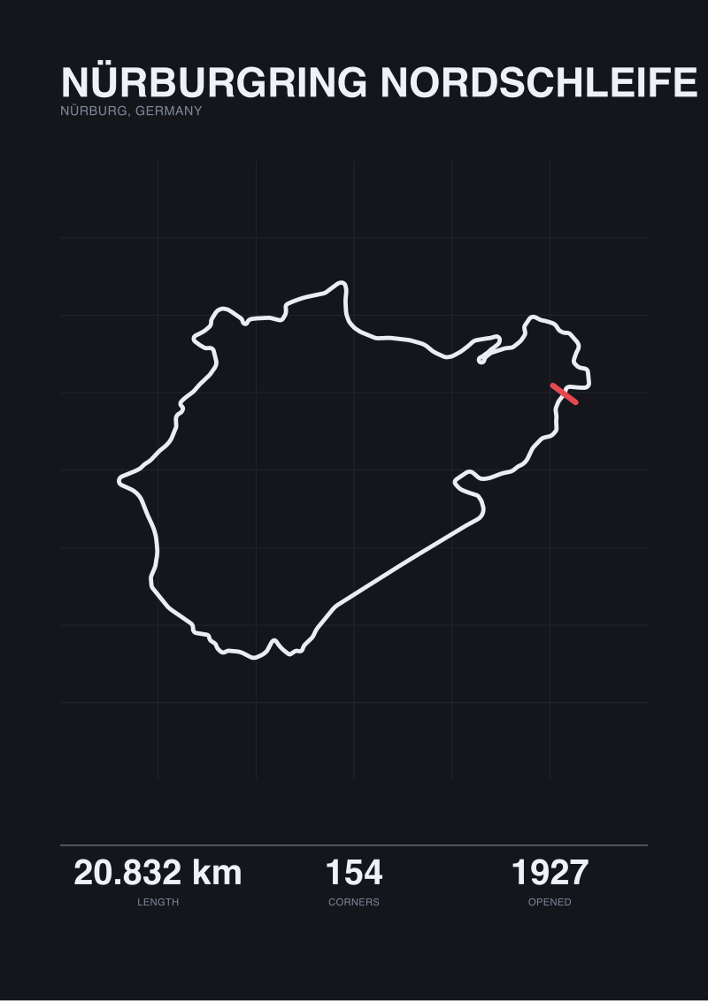
The fourth pattern shows up on long loops. The Nürburgring Nordschleife is published at 20.832 kilometres. Our trace returns 20.746 kilometres. The delta is eighty-six metres, or 0.41 per cent. In ratio terms this is only about three times the Spa disagreement. In absolute terms it is nearly ten times larger, and it feels different.
Two things are happening at once. The first is arithmetic: any per-metre drift between the trace and the homologation line accumulates with distance, and a circuit three times longer than Spa will produce a proportional gap three times wider even if the underlying trace quality is identical. The second is definitional. The Nordschleife is one of the circuits where multiple official conventions coexist. Different published figures for the loop reflect different start/finish reference points, different treatments of the sprint-configuration junction, and different historical measurement passes stitched from different eras of the facility. The 20.832 figure is one number among several that circulate in reputable sources, each defensible under its own convention, none directly interchangeable.
The pattern generalises. On any long circuit, the length figure you cite is not just the answer to "how long is it" — it is the answer to "how long is it under this specific convention, measured on this specific date, from this specific reference point". The longer the loop, the more that qualifier matters, and the more careful the writer has to be about which figure sits next to which claim.
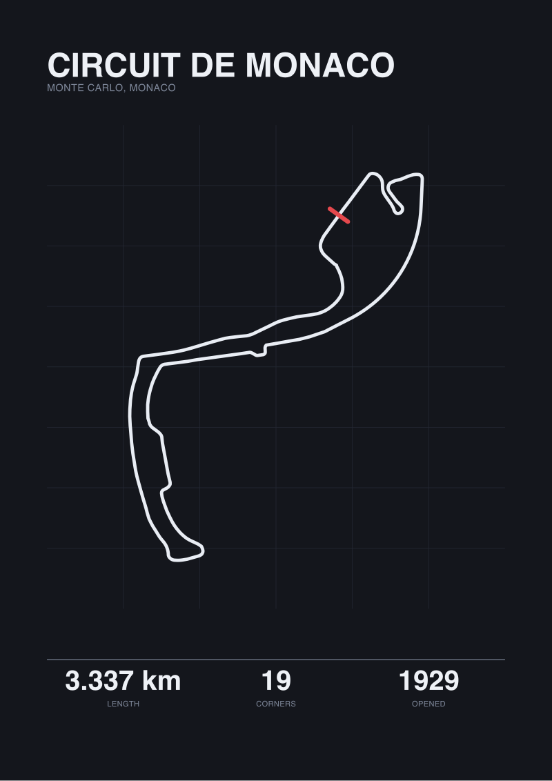 Circuit de Monaco
The print from this article · from €29.95
View the print →
Circuit de Monaco
The print from this article · from €29.95
View the print →
So What Do You Actually Do
Name your convention every time. If you are quoting the homologation figure, say so. If you are quoting a map trace, say so and say which geometry source produced it. If you are quoting a driver's telemetry lap length, say whose car and which lap. The convention is not a footnote; it is part of the number.
Compare like with like. Two homologation figures can be compared. Two OSM raceway traces can be compared, on circuits where the raceway tag actually covers the loop. A homologation figure and a map trace should not be placed next to each other as if they were the same measurement. The nine-metre Spa gap and the ten-metre Silverstone gap are close enough that the comparison survives; the eighty-six-metre Nordschleife gap and the twelve-kilometre Sarthe gap are not.
Treat the traced number as a second opinion. Its usefulness is not that it replaces the homologation figure — it does not, and it should not — but that it tells you how tightly the physical geometry as drawn in an open database lines up with the legal geometry as signed by the sport's governing body. A tight fit, as at Spa and Silverstone, means the two definitions are converging on the same object. A loose fit, as on the Nordschleife, means the definitions are drifting apart and you should look at the layout before quoting anything. A total mismatch, as at Sarthe, means you are asking the wrong database the wrong question.
This piece does not cover LiDAR-derived surveys, which are the current gold standard for circuit safety-envelope measurement and produce their own third set of numbers. It does not cover how homologation grades — Grade 1, Grade 2, Grade 3 — change the geometric requirements a circuit must meet, or how those grades interact with the length figure. And it does not cover the specific measurement conventions used by MotoGP and the FIM, which differ from the FIA in ways that matter when the same physical circuit hosts both.
FAQ
Who actually measures a race circuit to produce the official length?
Under the FIA International Sporting Code, the length figure comes from the circuit's homologation dossier, which is prepared for the FIA by the national sporting authority — the ASN — of the country the circuit sits in. The ASN commissions a certified survey, submits the geometry as part of the licence application, and the FIA countersigns the final number. Below international level, the ASN's own figure is authoritative.
Why does the OpenStreetMap length of Silverstone come out ten metres shorter than the official 5.891 kilometres?
OpenStreetMap contributors draw the raceway centreline in geographic coordinates, and any reprojection to a metric system introduces small rounding at every vertex. The OSM line also does not follow the exact homologation centreline convention: it approximates the middle of the tarmac rather than the specific line the FIA survey uses. A ten-metre gap on 5,891 metres is 0.17 per cent, which is what a good approximation of a different convention looks like.
Why is the Circuit de la Sarthe map-traced length under one kilometre when the real lap is over thirteen?
Only the permanent Bugatti loop inside the Le Mans site is tagged as raceway in OpenStreetMap. The Mulsanne straight, the Porsche Curves, and the rest of the twenty-four-hour lap run on ordinary departmental roads that carry commuter traffic outside race week, so they are tagged as public roads, not raceway. A trace that queries only raceway-tagged geometry returns the Bugatti portion and nothing else — a fragment, not the circuit.
Does the homologation length include the pit lane?
No. The homologated circuit length is measured along the racing centreline from the timing line back to itself, not through the pit lane. The pit lane has its own length figure, published separately, along with a specified pit-lane speed limit. When drivers talk about "the pit-lane loss" of a track, that figure comes from the pit-lane length plus the speed differential, not from the circuit length at all.
Why do different sources publish slightly different lengths for the Nordschleife?
The Nordschleife length in circulation depends on which start reference and which junction treatment the source uses. Different eras of the facility, different combinations of the sprint section, and different measurement passes have produced figures that all describe the same physical loop under different conventions. The 20.832 kilometre figure is defensible; other figures published in reputable sources are also defensible under their own conventions. None are directly interchangeable without noting the reference.
If GPS telemetry from a race car shows a shorter lap length than the homologation figure, is the homologation figure wrong?
No. Telemetry measures the path the car took, which is the racing line, and the racing line is systematically shorter than the geometric centreline the homologation figure follows. On a fast circuit the racing-line length can be tens of metres shorter than the homologated length without either figure being wrong. Comparing them directly is a category error: one is a legal length, the other is a driven length.
Does a circuit's official length ever change without the circuit being rebuilt?
Rarely, and only when the homologation is redone under revised measurement conventions or when a previously undocumented section — a chicane modification, a pit-entry change, a kerb realignment — is formalised. The length figure is treated as a legal constant between homologation cycles. If a circuit's published length changes without a visible construction event, it usually means the convention changed, not the tarmac.
From the collection
New circuits and 10% off your first print.
One email now with your code. No noise after.