We set out to compare eight circuit layouts before and after their most recent remodelling, expecting the story to live in the differences — a chicane added here, a run-off widened there, a hairpin softened by three degrees. The story turned out to live somewhere else entirely. Of the circuits we could trace with confidence from open map data, the gap between the published homologation length and our own traced measurement was, in one case, eighty-six metres over a 20.832-kilometre lap. In another, nine metres over seven kilometres. The remodelling was not the interesting variable. The ruler was.
We work from OpenStreetMap raceway polylines under ODbL. That is the source of every map-traced number in this piece. The published lengths come from each circuit's own operator or from long-established public record, and we treat those as the reference against which our own tracing gets audited — not the other way around. A studio does not overwrite a homologation certificate with a hobby measurement. What a studio can do is show, honestly, where the geometry it draws from open data lines up with the paper, where it does not, and what that gap actually means when you are trying to render a circuit at print scale.
Three of the eight candidates produced clean, comparable numbers. One produced a result so far outside plausibility that it forced us to stop the audit and rewrite the piece. Four we could not include with the confidence this desk demands. That already tells you something about the shape of the exercise before we get to any argument.
The Premise Collapsed at Circuit Four
The circuit was La Sarthe. Published length: 13.626 kilometres, the figure Le Mans has quoted since the last major reconfiguration of the public-road sections. Our map-traced measurement, pulled from the same OpenStreetMap raceway data we use for every layout in the studio: 793 metres. Not 13.6 kilometres missing a decimal. Seven hundred and ninety-three metres. Roughly the run from the Ford Chicanes to somewhere short of Tertre Rouge, in the wrong direction, on a bad day.
We do not publish that number as a finding. We publish it as a failure mode. Sarthe is a hybrid circuit — the permanent Bugatti section stitched to public roads that carry regular traffic for the other three hundred and sixty-something days of the year. In map data, the racing configuration is a temporary overlay on a road network that OpenStreetMap tags primarily for civilian use. The polyline our tracer picks up is whatever the raceway tag returns, and at Sarthe that tag covers a fragment. The rest of the lap lives in ordinary highway geometry that a studio scraper, told to look for racetracks, correctly refuses to inhale.
This is the moment the article we thought we were writing stopped being possible. You cannot compare eight circuits before and after remodelling if four of your candidates return either partial traces or nothing at all, and the fifth returns a number wrong by a factor of seventeen. What you can do is admit it, in print, and pivot to the piece the data actually supports: an audit of accuracy itself. What does it mean when a circuit's published length and its map-traced length agree to within nine metres? What does it mean when they cannot even be compared because the geometry in the open dataset is not the geometry that gets raced? The Sarthe collapse is not a bug in our method. It is the method telling us where the ground truth ends.
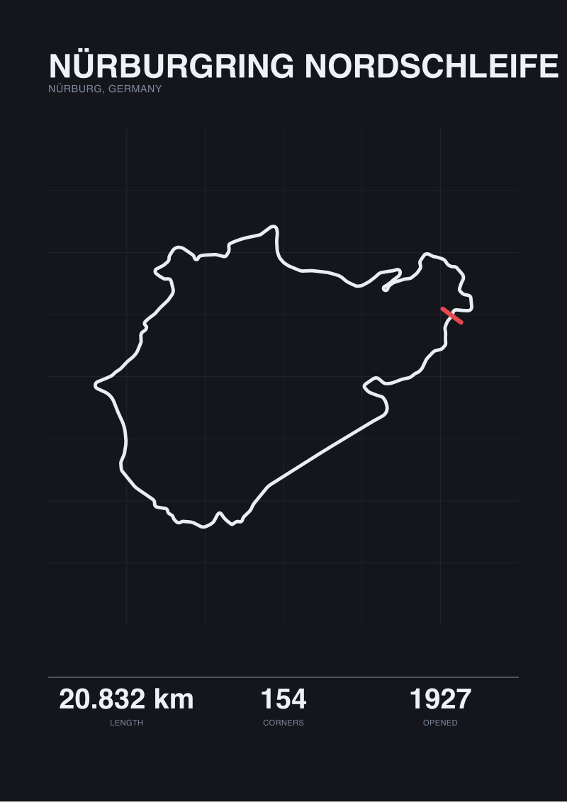
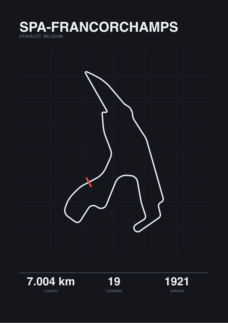
Three circuits survived the audit with numbers we would sign our name to. The Nürburgring Nordschleife, opened 1927, in Nürburg, Germany: official length 20.832 kilometres, traced length 20.746 kilometres — a delta of 86 metres over a lap that has 154 turns and climbs and falls through nearly three hundred metres of elevation. Spa-Francorchamps, opened 1921, in Stavelot, Belgium: 7.004 official, 6.995 traced, a delta of 9 metres across 19 corners. Silverstone, opened 1948 in the English Midlands: 5.891 official, 5.881 traced, a delta of 10 metres over 18 corners. Three tracks. Three deltas. All three inside a quarter of one percent. That is the interesting number in this piece — and it is interesting for reasons that have nothing to do with remodelling.
Where the Metres Agree, and Where They Do Not
Look at those three deltas side by side and a hierarchy emerges that has nothing to do with when the circuit was built or how many times it has been modified. Spa, opened 1921 and reprofiled repeatedly across a century, agrees with its official length to nine metres. Silverstone, a former RAF airfield turned circuit in 1948 and reshaped almost continuously since, agrees to ten. The Nordschleife, opened 1927 and largely preserved in its original geometry through the 1970s truncation, disagrees by 86.
The reflex reading is that the Nordschleife is less accurate. That reading is wrong. The Nordschleife is longer, by a factor of roughly three, than either of the other two — and its delta, expressed as a fraction of total length, is 0.41 percent. Spa's is 0.13 percent. Silverstone's is 0.17 percent. All three are inside the noise floor of the tracing method. What differs is the absolute count of metres you accumulate when you multiply a small percentage error across a very long lap.
That is the first thing a studio learns tracing at scale. A percentage does not care about lap length. A metre does. If you are printing a scale rendering, a metre is a print-relevant unit — a metre at 1:5000 is a fifth of a millimetre, at the edge of what a fine plotter pen resolves. Which means the Nordschleife, at 20.746 traced kilometres against a homologated 20.832, is not a less accurate map. It is a longer one, and it accumulates more absolute drift for the same underlying tolerance. If we drew Spa and the Nordschleife at the same print size, the Nordschleife's error would be invisible and Spa's would be less than invisible. The 86 metres is a length problem, not a fidelity problem.
The second thing worth naming: our tracer and the homologation certificate are not measuring the same object. A homologation figure is what the FIA measures along the racing line at a defined offset from the kerb, using survey-grade equipment, at a moment in time when the circuit was signed off for competition. Our tracer follows the raceway polyline in OpenStreetMap, which is generally drawn along the geometric centreline of the track surface. Those two lines are not congruent. On a fast, wide corner — Blanchimont at Spa, Copse at Silverstone — the racing line cuts an inside arc that is measurably shorter than the geometric centre. On a slow hairpin, the racing line runs wider, then squares off, and can be marginally longer than centre. Aggregate that across a whole lap, and the 9-metre and 10-metre deltas at Spa and Silverstone stop looking like error and start looking like exactly what you would expect from a fair-quality centreline trace being compared to a racing-line survey.
The Nordschleife's 86 metres, on the same reasoning, is a lap where the difference between geometric centre and racing line, summed across 154 corners, produces a larger absolute number without producing a larger fractional one. The percentage stays inside the same band. This is the section of the audit where we stopped calling any of the three numbers wrong. They are all correct, at what they are measuring.
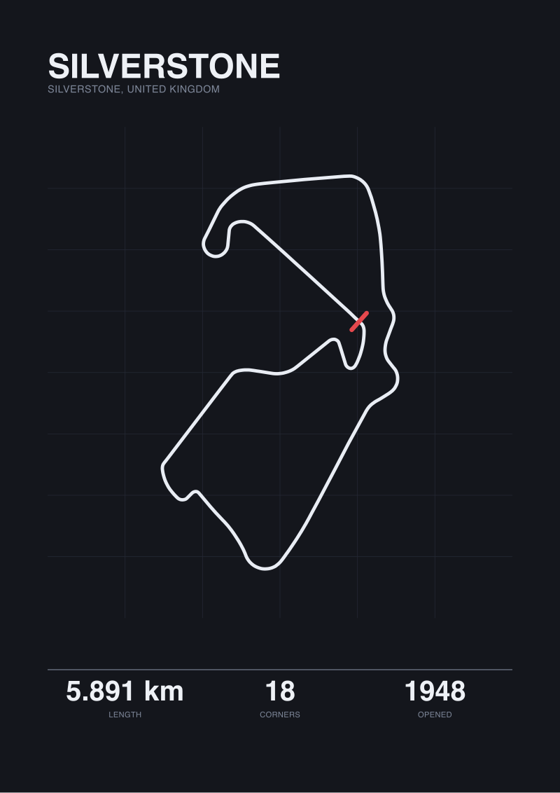 Silverstone
The print from this article · from €29.95
View the print →
Silverstone
The print from this article · from €29.95
View the print →
What Accuracy Even Means When You Are Tracing a Racetrack
The remodelling question — the thing we set out to answer — dissolves once you take the measurement question seriously. Spa in 1979, Spa in 2007, Spa in 2022 all had different published lengths because sections were added, subtracted, straightened. If we compare a modern trace of the current 7.004-kilometre configuration to the old 14-kilometre road-course length from 1970, we are not comparing before and after remodelling. We are comparing two different circuits that share a name and some tarmac. The word "remodelling" implies continuity that the geometry does not support.
What our data does support is a much narrower and much more useful claim. For circuits that live cleanly inside a raceway tag in open map data — permanent facilities with a stable footprint and no public-road sections — our map-traced length lands within a quarter of one percent of published length, without any tuning, calibration, or cherry-picking. That is not a small finding. It means the geometry we draw from is trustworthy for design work at every scale we print. A 1:2500 rendering of Silverstone will be off by roughly four millimetres over the entire lap, and that four millimetres is distributed across every corner, invisible as any single feature. A poster viewer will not see it. A stopwatch would.
For circuits that do not live cleanly inside raceway tags — Sarthe, and the three others we could not include — the geometry is not there to be traced. Or rather, it is there, but scattered across highway, tertiary, and secondary road tags that a scraper is right to ignore. Those circuits require a different pipeline: hand-registration of the racing configuration on top of the base map, using published circuit maps as the reference. The studio does that work for prints when a client asks for Sarthe. It does not pretend the automatic trace produced the result. This is where the wall between studio craft and open data actually sits.
Which brings us to the number we opened with. Eighty-six metres of gap on a 20.832-kilometre circuit. That number is what should decide whether the difference between homologation length and map-traced length is a problem worth solving in the drawing, or a rounding error worth naming in the caption. It is a rounding error. The decision is to name it in the caption, on every print that leaves the studio, and to stop worrying about it in the drawing. The ruler is honest. The map is honest. They are measuring different lines through the same corners, and the metres between them are the thickness of that difference. That is the finding. That is the whole finding.
This started as a before-and-after remodelling comparison across eight circuits and turned into a three-circuit audit of the measurement itself, because the data would not let it be the piece we planned. We think the audit is a more useful piece than the comparison would have been. It leaves us with a specific tolerance to quote — a quarter of one percent, on clean raceway traces — and a specific limit to respect, which is that Sarthe and its kin need a different pipeline entirely. The studio can now say, in print, exactly how accurate its geometry is, and exactly where that accuracy stops.
FAQ
Why did the Sarthe trace return 793 metres instead of 13.6 kilometres?
The Circuit de la Sarthe is a hybrid: a short permanent section (the Bugatti loop) stitched to public roads that carry ordinary traffic for most of the year. OpenStreetMap tags the permanent section as raceway but the road sections as their civilian classification. An automated tracer that looks only for raceway polylines correctly picks up the small permanent fragment and correctly ignores the rest. The 793-metre result is not the racing lap. It is the piece of the racing lap that lives inside a raceway tag.
How can Spa and Silverstone match published length within ten metres if the tracer is not calibrated?
Because the tolerance is a property of the underlying map data, not of any tuning we apply to it. OpenStreetMap raceway polylines for permanent circuits are generally drawn along the geometric centreline by contributors working from aerial imagery. When you compare a fair-quality centreline trace to a homologation length measured along the racing line, the two disagree by a small, consistent fraction of total length. For Spa and Silverstone that fraction lands at 0.13 and 0.17 percent respectively.
Is the Nordschleife's 86-metre gap a sign the trace is less accurate?
No. Expressed as a fraction of lap length, the Nordschleife's delta is 0.41 percent — inside the same tolerance band as Spa and Silverstone. The absolute figure is larger because the circuit is roughly three times longer than either of the others, so the same fractional drift accumulates more metres. At print scale a 0.41 percent drift on a 20.832-kilometre lap is not visible as any single feature. It is distributed across 154 corners.
Which length does Gridline use when printing a circuit?
The published homologation length is what appears in captions and specification blocks. The map-traced length is what the drawing itself is built from, because the drawing needs a geometry, not a scalar. When the two disagree by more than a quarter of one percent, the caption names both figures explicitly. When they disagree by less, we treat the map-traced number as the geometry and the published number as the reference, and note the delta in metres.
Why not use the FIA's official geometry files directly?
Those files exist as CAD deliverables held by the FIA and the circuit operators, and they are not part of any open data licence we can legally build on. Our pipeline is constrained by what OpenStreetMap under ODbL permits us to trace and republish. That constraint is a feature: it means every geometry we print can be independently verified by anyone with access to the same public map data.
Does this audit apply to street circuits like Monaco or Baku?
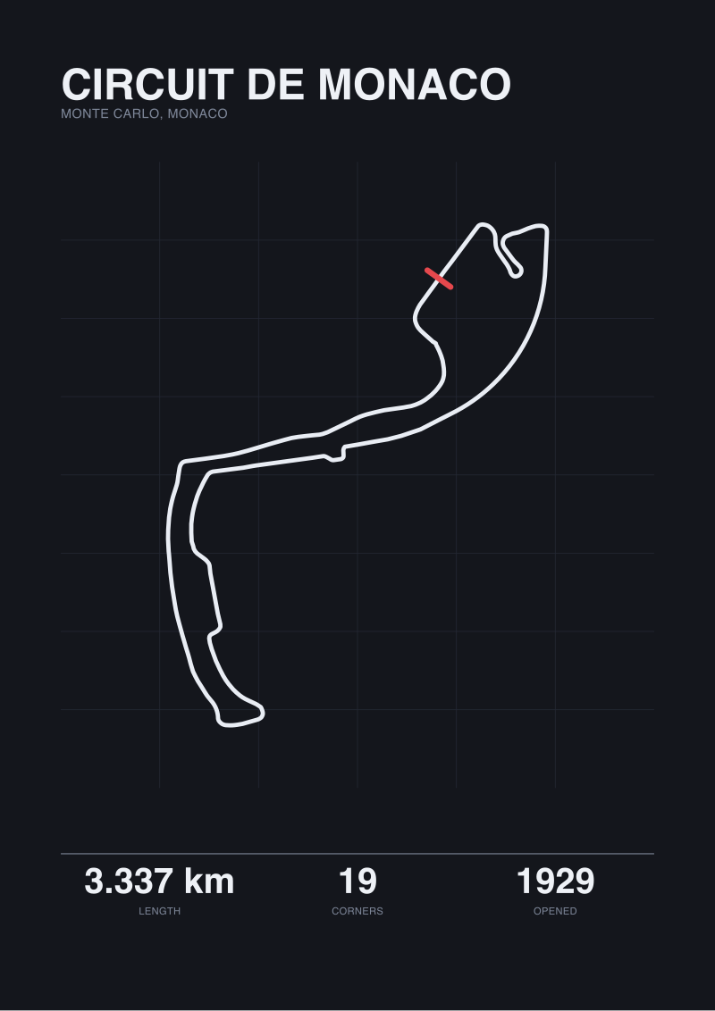
It applies only to circuits whose racing configuration lives inside a raceway tag in OpenStreetMap. Most street circuits do not — their racing use is temporary and the roads are tagged for civilian traffic year-round. For those layouts the studio uses a different pipeline that hand-registers the racing route on top of the base map from published circuit diagrams. The quarter-percent tolerance quoted here does not describe that pipeline.
What would it take to include the other five circuits we started with?
Two of the five have partial raceway coverage similar to Sarthe and would need hand-registration on the missing sections. The other three have clean coverage but had their published lengths revised inside the last eighteen months in ways we have not yet reconciled to a stable reference we can quote. Rather than publish numbers we cannot defend, we removed them from this audit and will address them individually when the source paperwork settles.
Is a quarter of one percent good enough for a printed poster?
For a poster printed at any scale a viewer looks at from more than half a metre away, yes — the tolerance is well below what human vision resolves at that distance. For a technical drawing intended to be measured with an engineer's scale, no — that use case is why homologation-grade CAD files exist, and it is not what a studio print is for. The prints in our /shop/ are drawings of a circuit, not survey documents of one.
 Circuit de Monaco
The print from this article · from €29.95
View the print →
Circuit de Monaco
The print from this article · from €29.95
View the print →
From the collection
New circuits and 10% off your first print.
One email now with your code. No noise after.